Google Earth has been around for a while so I'm guessing most of you know of it. If not you really need to check it out. It's a free download at
http://earth.google.com/
On one of the boards I frequent, guys will make predictions of where the tuna will be based on the sea surface temp reports and post a Google Earth picture with a marker on the area and GPS coordinates.
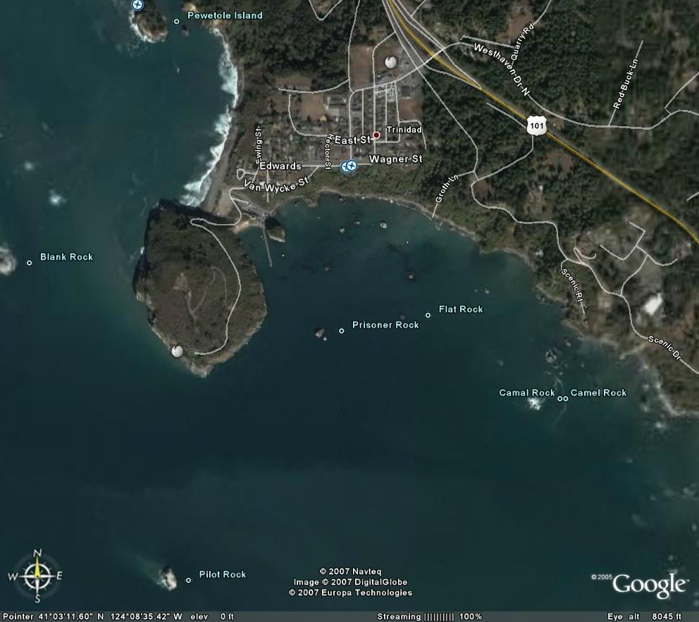
This is Trinidad harbor in Northern CA. It's a few minutes drive north of my house and where I'll be launching Sla'inte in a few weeks.